Geography of Sweden
Updated 15 October 2026
Sweden stretches far enough north to south that a trip in one region differs from a trip in another. Its land area is 409,629 km² (Statistics Sweden, as of 31 December 2025). Most of that land lies in the north, but most people and large cities are in the south and center. Plan around three things: where the regions divide, how the terrain affects a route, and how much daylight a month provides.
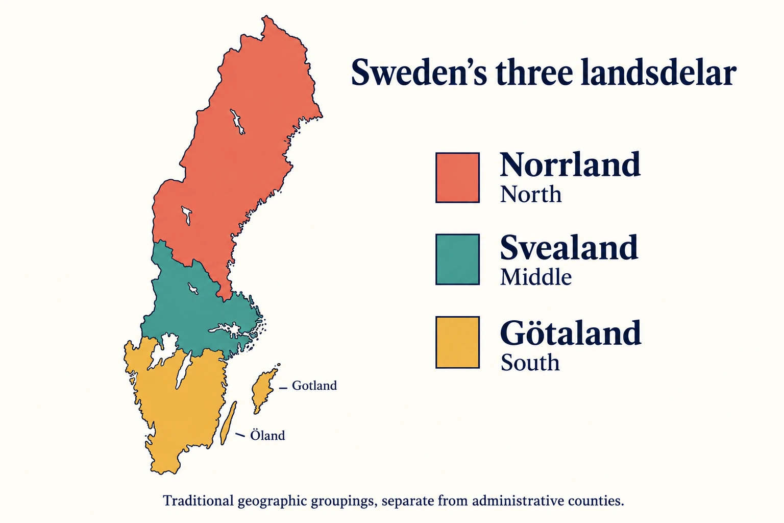
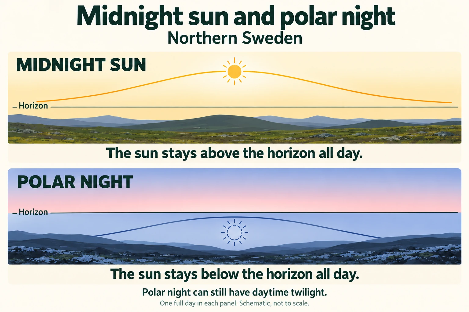
Swedes divide the country into three traditional landsdelar: Götaland in the south, Svealand in the middle, and Norrland in the north. Mountains run along the western border in the north, forests and lakes fill much of the interior, and coasts and island groups line the east and west. Weather follows latitude and the west-east divide, and the mountains and the west get the most precipitation. Daylight varies most with latitude. North of the Arctic Circle, the sun stays above the horizon for weeks in summer and stays below it for days in midwinter.
The three landsdelar: Götaland, Svealand and Norrland
The landsdelar are geographic and historical groupings. They do not match government regions, county lines or tourist-board territories, and the older provinces (landskap) within them also have no administrative role today. Travelers still meet the names constantly in guidebooks, rail timetables and conversation, so they are useful shorthand.
The areas below include lakes and watercourses.
| Landsdel | Area (km²) | Share of total | Provinces |
|---|---|---|---|
| Götaland | 97,841 | 21.7% | 10 |
| Svealand | 91,098 | 20.2% | 6 |
| Norrland | 261,292 | 58.0% | 9 |
Norrland holds well over half the area, yet it is the sparsely populated part. Götaland and Svealand are each roughly a fifth of the total and contain the main cities, including Stockholm in Svealand. Border treaties explain the current layout. Skåne, Blekinge and Bohuslän joined Sweden after the Treaty of Roskilde in 1658. Halland and Gotland came after the Treaty of Brömsebro in 1645, the same treaty that brought Härjedalen and Jämtland, which are now counted in Norrland. Gästrikland was historically in Svealand and is now counted in Norrland, and Värmland moved from Götaland to Svealand.
Götaland in the south
Götaland has ten provinces: Skåne, Blekinge, Halland, Småland, Öland, Gotland, Östergötland, Västergötland, Dalsland and Bohuslän. Its southernmost parts fall in the warm-temperate climate zone, with a relatively long, warm summer and mild winters. Skåne, the southernmost province, has the longest growing season and the mildest conditions. Småland is much larger and lies inland between the two coasts.
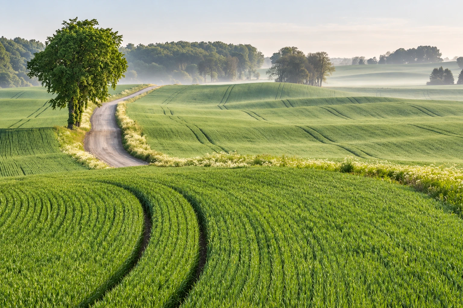
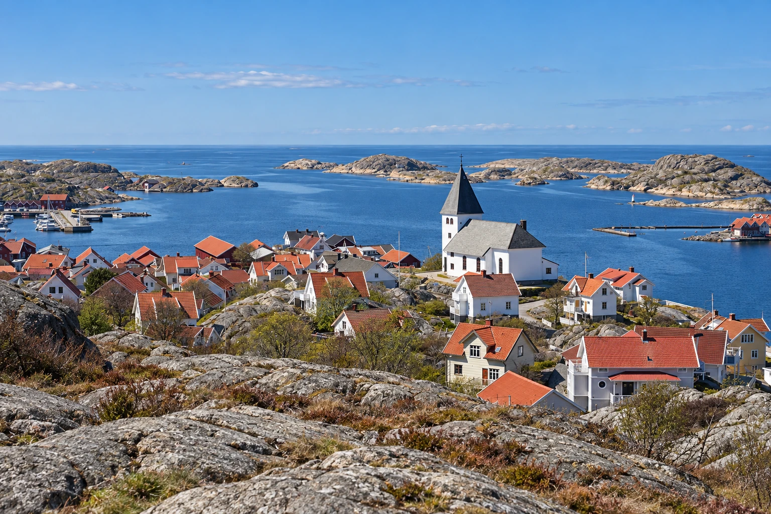
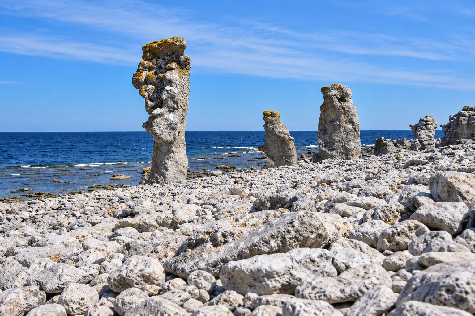
The region has the most varied coastline for travelers. On the east side, Gotland and Öland are island provinces in the Baltic, and Blekinge faces the same sea. The Baltic islands are among the driest places in Sweden, at about 400 mm of precipitation per year, so a summer beach trip there is a safer bet than on the west coast. On the west side, Bohuslän and Halland face the North Sea approaches, and Orust, Tjörn and Hisingen are large islands close to the mainland. Southwestern Sweden has the wettest inhabited areas in the country, about 1,000 to 1,300 mm per year, because most low-pressure systems arrive from the west or southwest. A west coast itinerary should include indoor options for rain, especially in summer and autumn when precipitation is heaviest.
Svealand in the middle
Svealand has six provinces: Södermanland, Uppland, Västmanland, Närke, Värmland and Dalarna. It contains Stockholm and reaches north and west toward the mountains. Most of it lies in the cold-temperate zone, which has a shorter growing season and longer winters than Götaland, though Stockholm’s summer days are long. Dalarna is among the largest provinces in the country, so distances inside a single province can be considerable.
For travelers, Svealand is the practical hinge of a trip. Stockholm and the Uppland coast give access to the archipelago, while Värmland and Dalarna lead toward the forested and hilly interior. Svealand is also the region where a short trip can touch both city and countryside without crossing the long distances of Norrland.
Norrland in the north
Norrland has nine provinces: Gästrikland, Hälsingland, Härjedalen, Jämtland, Medelpad, Ångermanland, Västerbotten, Norrbotten and Lappland. The three northernmost are called Övre (Upper) Norrland and the rest Nedre (Lower) Norrland. Lappland is by far the largest province.
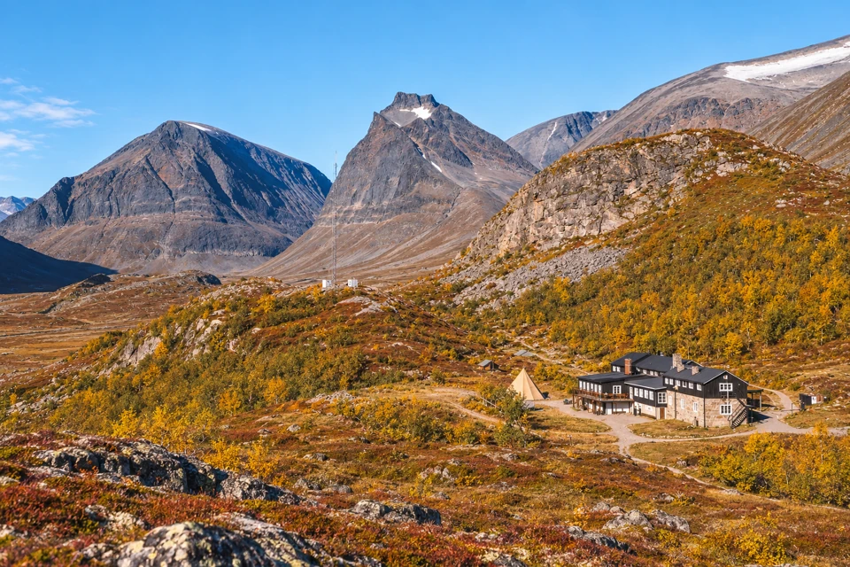
Most of Norrland lies in the cold-temperate zone, which has extensive coniferous forest and usually continuous snow cover in winter. The zone changes to a polar climate along the mountain chain. The Arctic Circle, the high mountains, midnight sun and polar night all come into play in Norrland, and seasonal choice matters most here. Distances are long and population is thin, so trips here usually concentrate on one area, such as the Kebnekaise and Abisko region, rather than sampling several.
Mountains and Kebnekaise
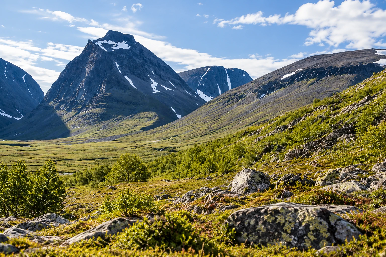
The Swedish mountain chain, called the fjäll, is part of the Scandinavian range that runs more than 1,000 km along the border with Norway, with the Swedish portion in four counties: Norrbotten, Västerbotten, Jämtland and Dalarna. The high-mountain areas in the north have large contiguous bare-rock areas, steep peaks, alpine relief and glacier cirques. Most precipitation arrives on prevailing westerly winds, and in the lee of the high massifs the climate is drier and more continental. Mountains near the Norwegian border locally receive 1,500 to 2,000 mm per year.
Kebnekaise, in Kiruna Municipality in Norrbotten, is Sweden’s highest mountain. Its north top, at a fixed height of 2,096.8 m, has been the highest point since 2019. The south top carries a glacier on its summit, so its height changes with the seasons and the years. A Stockholm University measurement on 10 September 2025 gave 2,088.4 m, which put it below the north top. The Kebnekaise massif covers about 500 km², with about 140 marked peaks and about 40 glaciers. The Kebnekaise mountain station sits at 690 m, and most climbs begin there.
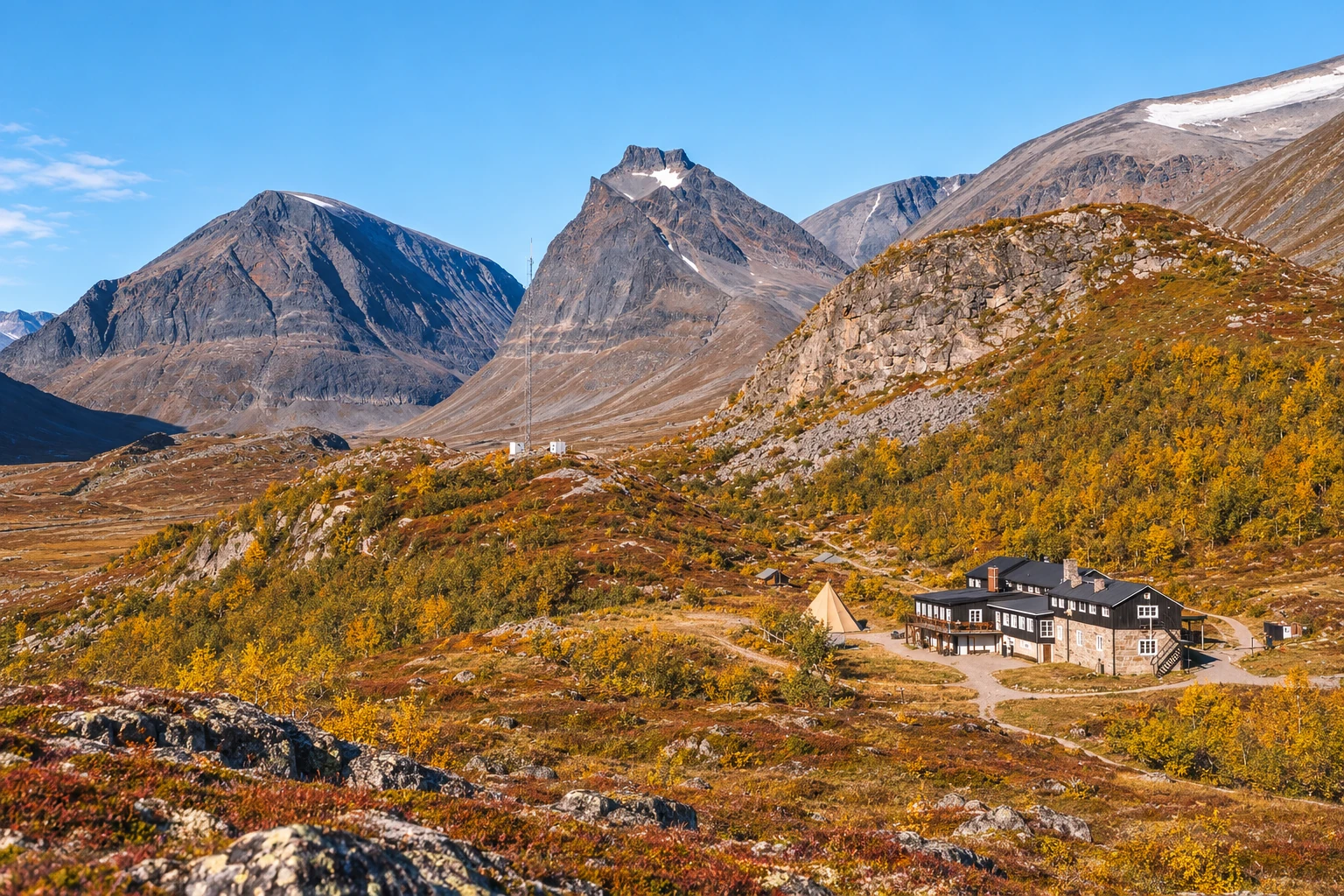
Climbing routes are demanding. The western route is a round trip of 18 to 20 km, with about 1,800 m of climbing, and takes 10 to 15 hours. The eastern route is about 15 km with about 1,500 m of climbing and takes 8 to 12 hours, and it usually requires glacier equipment, a via ferrata (a fixed-cable climbing route) and a guide. Visitors who want the area without the summit can walk part of the Kungsleden, the 450 km marked trail that passes between Abisko and Nikkaluokta near Kebnekaise.
Kebnekaise is not a national park, although the Swedish Environmental Protection Agency has proposed one since 1989 and included it in the 2008 national park plan. The plan also proposes a Vindelfjällen park and enlargements of Sarek and Padjelanta. The existing high-mountain parks include Vadvetjåkka and Abisko, and Pieljekaise is small. Padjelanta is the largest national park at 198,400 ha. Other high peaks in the area include Sarektjåkkå’s main top at 2,089 m, Kaskasatjåkka at 2,071 m and Kaskasapakte at 2,040 m. Treat these as approximate, since glacier-topped summits shift.
Lakes and forest
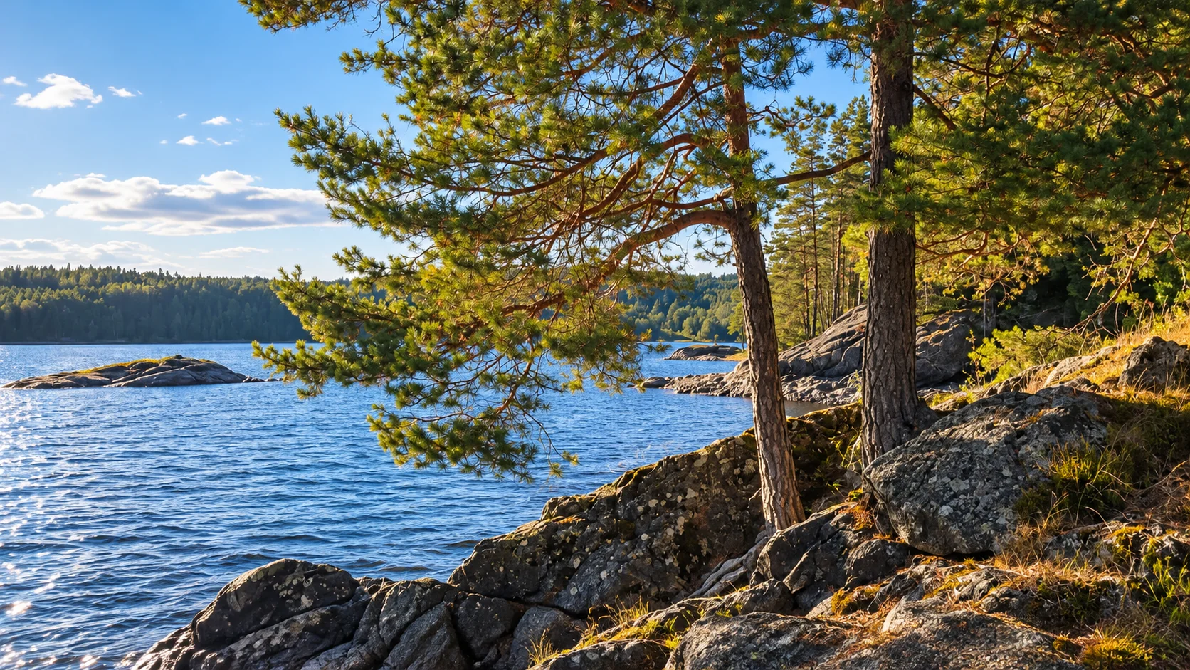
Lakes and watercourses are spread through the interior, and the landsdel areas in the table above include them. The forested interior of Svealand and Norrland, with its extensive coniferous cover, is where lakes and rivers fit most naturally into an itinerary. A traveler will meet them as stops along the way: a lake beside a village in Dalarna or Värmland, or a river valley on the road into the mountains.
Water also shapes the climate. Eastern Sweden receives less precipitation, with higher temperatures and lower humidity, while the west and north are wetter. Winter precipitation falls mostly as snow, except in the southern coastal districts, where rain dominates. A winter trip that depends on snow for skiing or snowmobiling belongs in the north or the mountains, where snow is reliable.
Stockholm archipelago and coasts
The Stockholm archipelago is the best-known island group. The county administration counts about 30,000 islands, islets and skerries, of which about 200 are inhabited year-round. It has no formal boundary, but the classic north-south span runs from Arholma in the north to Landsort in the south. East to west it extends about 80 km from the mainland toward the outer island of Svenska Högarna. One estimate gives about 1,700 km² in total, of which about 530 km² is land. Part of the archipelago has been a Ramsar site (a wetland of international importance) since 1989.
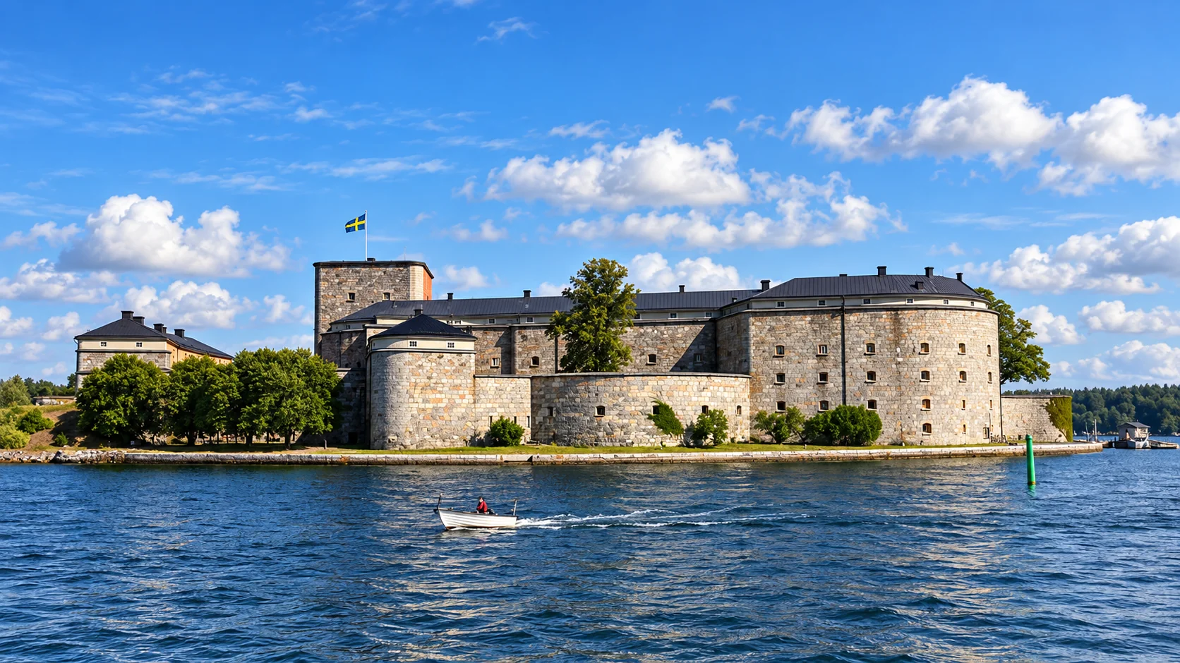

Getting around depends on the island. Larger islands near the coast have fixed bridges or vehicle ferries, outer islands usually have scheduled boats, and small islands require a private boat or water taxi. Transport by ferry or boat takes longer and usually costs more than road travel. Designated archipelago communities include Arholma, Sandhamn, Utö, Möja and Ornö, and a visitor should not expect full services on every inhabited island. A day trip can reach the nearer islands, while Svenska Högarna and other outer points justify an overnight stay. Check ferry timetables with the operator before planning, as sailings vary by season.
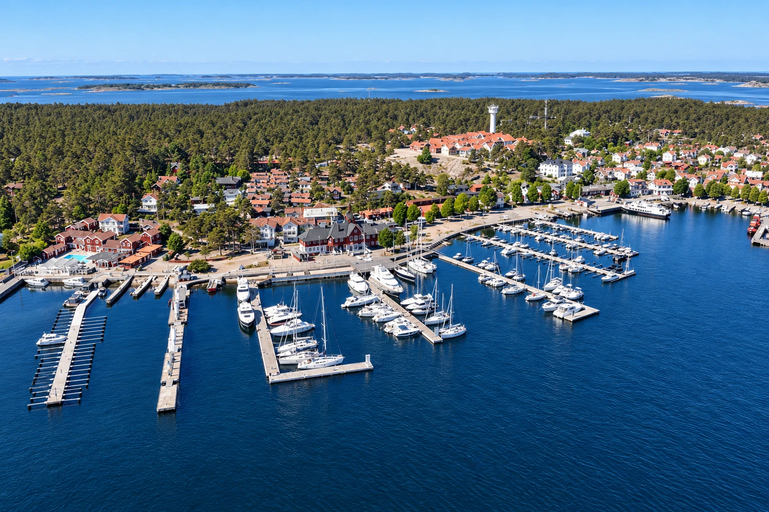
The west coast offers a different kind of island travel. Orust, Tjörn and Hisingen are large enough to drive on, and Bohuslän’s coast is cut by many smaller islands. Götaland’s east coast adds Gotland and Öland in the Baltic, each its own province, which makes them natural destinations for a separate trip.
Climate zones and rainfall
The Swedish Meteorological and Hydrological Institute (SMHI) describes three climate zones: warm-temperate in the south, cold-temperate in the north, and polar along the mountain chain. Sweden lies in the westerly wind belt, and the nearness of the North Atlantic gives a mild winter half-year for its latitude.
Precipitation falls year-round and is heaviest in summer and autumn. Annual measurements generally fall between about 500 and 800 mm. The exceptions are the wet southwest and the western mountains, at the figures given above, and the driest places, which are small Baltic islands and some valleys in northern Lappland, at about 400 mm. For comparison, Western Norway receives roughly three times the precipitation of Sweden’s wettest inhabited areas, so crossing the border from the mountains can mean a sharp change in weather.
Temperature extremes in the north are large. In Norrbotten county, the highest recorded temperature is 36.9°C at Harads on 17 July 1945 and the lowest is -47.1°C at Björkfors on 31 January 1956. These are county records, not national ones, but they show the range a northern summer or winter can reach.
Recent decades have been warmer. Comparing 1991 to 2020 with 1961 to 1990, SMHI reports temperatures up about 1.0 to 1.5°C across most of the country, with the largest warming in winter in northern Sweden. Precipitation rose almost everywhere, by more than 10% in western Götaland and northern Norrland, while the east coast saw a slight fall. SMHI’s projections show further warming, largest in the north and in winter. Travelers should treat snow cover in the far south as unreliable and look to the north and mountains for dependable winter conditions.
Daylight by latitude
Daylight varies more with latitude than any other geographic factor. At the equinoxes the day is close to 12 hours everywhere. At the summer solstice, days are longer in Stockholm than in Malmö, and far longer still in the north. In midwinter the gap widens: days are short in Malmö and shorter still in Kiruna.
The Arctic Circle lies at about 66.5°N. SMHI explains that north of this line the midnight sun occurs in summer and polar night in winter. At the circle itself each lasts one day a year, at the solstice, and the period lengthens further north. Refraction, the bending of sunlight by the atmosphere, makes days slightly longer than geometry alone predicts, which is why the midnight sun can be seen a little south of the circle. The effective boundary lies roughly from Haparanda to Kalix and Boden. Clear weather is the main condition for seeing it, so cloud can hide the midnight sun even on the right date.
Kiruna is the standard northern reference. In SMHI’s figures, based on the 2013 almanac, the midnight sun runs from 29 May to 14 July, which is 47 consecutive days with the sun above the horizon. Polar night lasts 27 days, and at the winter solstice around 22 December the sun does not rise above the horizon. Exact dates shift by a day or two from year to year and by location, so check a current SMHI table when booking around them.
Planning a trip by season and latitude
Choose the region by the daylight and weather you want. For midnight sun, plan a northern trip between late May and mid-July, and allow some flexibility for cloud. The Kebnekaise area is reachable from Kiruna, and the Kungsleden trail starts nearby at Abisko. Summer in Stockholm and the archipelago has very long days around the solstice, which suits island hopping and outdoor evenings.
For winter, remember that days are short even in the south, and the far north has polar night. The north offers reliable snow, since cold-temperate areas have continuous snow cover, but daylight activities have to fit a narrow window. Spring and autumn bring more balanced days but changeable weather. Autumn is the wetter season on the west coast.
A combined trip works best when it follows the geography: start in Stockholm in Svealand, add the archipelago or a Götaland destination such as Gotland or the west coast, and treat Norrland as its own trip because of the distances. A week suits one region well, and ten days allows two. Climbing Kebnekaise needs a long day and experience, and the eastern route needs a guide.
Summary for planning a trip
- Plan around latitude first: Midnight sun runs about 47 days in Kiruna, from 29 May to 14 July, and polar night about 27 days, so timing decides what a northern trip offers.
- Treat Norrland as a separate trip: It holds 58.0% of Sweden’s area, including water, with long distances and few people, while Svealand and Götaland hold the main cities.
- Match the coast to the weather: The west coast and southwest are the wettest inhabited areas, at about 1,000 to 1,300 mm a year, and the Baltic islands are among the driest at about 400 mm.
- Check ferries for the archipelago: Stockholm’s archipelago has about 30,000 islands but only about 200 are inhabited year-round, and outer islands depend on scheduled boats.
- Prepare for Kebnekaise as a serious climb: The north top is 2,096.8 m, the western route takes 10 to 15 hours, and the eastern route usually needs glacier gear and a guide.